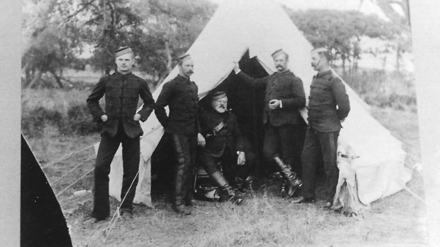
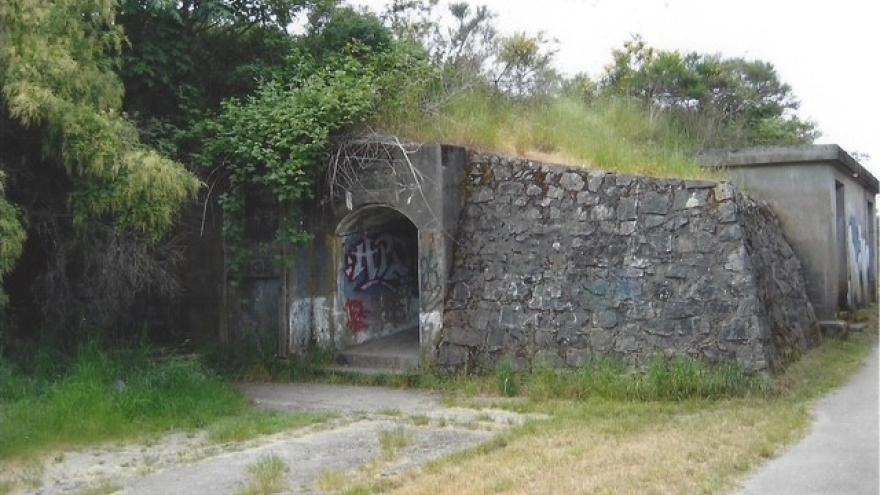
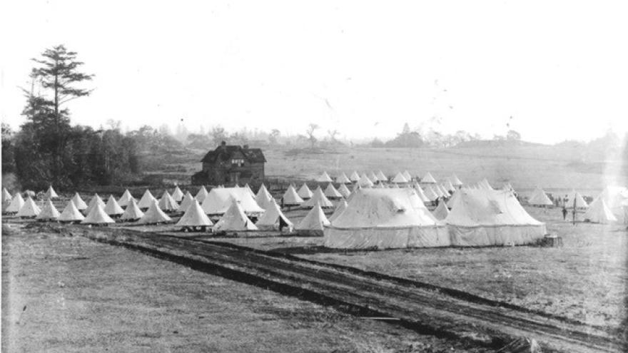
About Fort Macaulay
Macaulay Point was named for Donald Macaulay, Bailiff of Viewfield Farm. Esquimalt Harbour was explored by the Spanish in 1790. The 1846 Royal Navy Hydrographic Survey found the harbor suitable for large vessels, and by the 1870s, a coastal defense system was in development.
Macaulay Point was known as Mukwuks by the Lekwungen-speaking First Nations, now the Songhees Nation and Kosapsum (Esquimalt) Nation, on whose traditional territory it is located. Indigenous populations date from about 4,000 years before colonization.
To learn more about this historic site, come see the temporary archival display at the Esquimalt Municipal Hall or attend the May 24 Fort Macaulay interpretive event.
Thank you to volunteer Jane Ciacci for assembling the display and to Jack Bates who has loaned the Archives some of the photos.